WildCamp
Find dispersed and free camping on America's public lands. Free on iOS and Android.


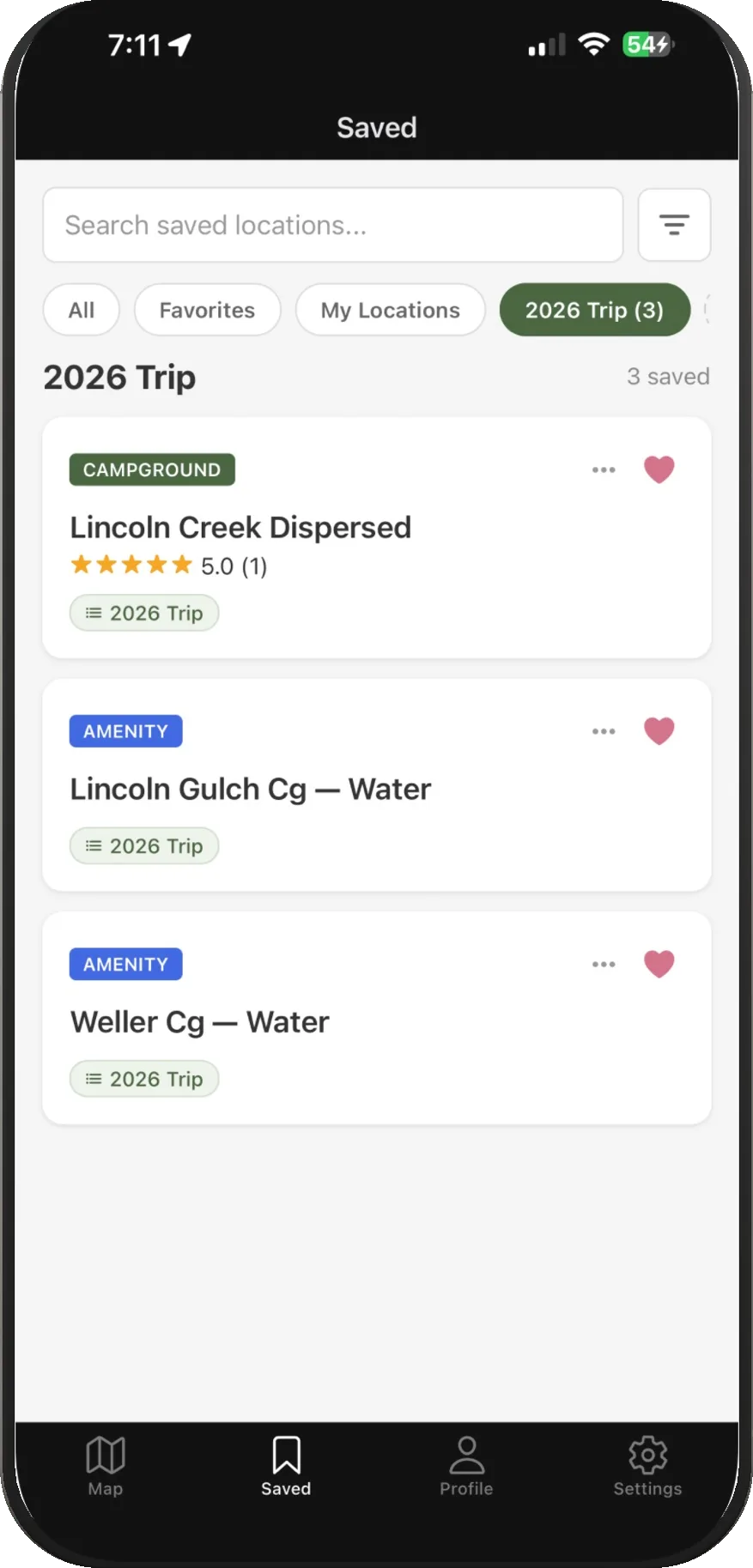
Discover all the best free campsites
We map the places you can legally camp for free, straight from the official data, and let campers fill in the rest.
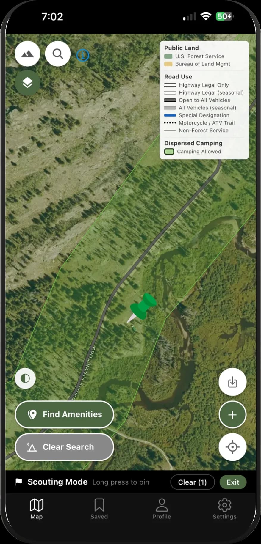
Dispersed camping, mapped
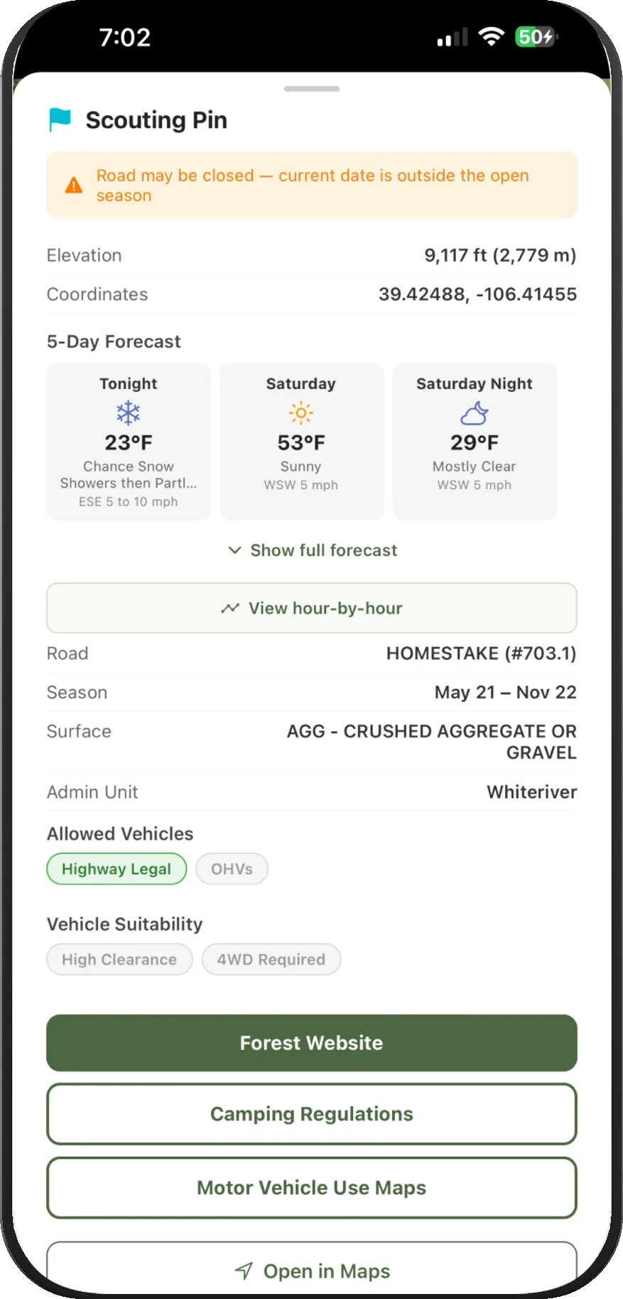
Camping corridors derived from official Forest Service Motor Vehicle Use Maps, plus BLM land and free campgrounds, with road surface, season and vehicle rules for each.
Public land boundaries
Forest Service, BLM and other public land layers on topo or satellite basemaps, so you know whose land you're on.
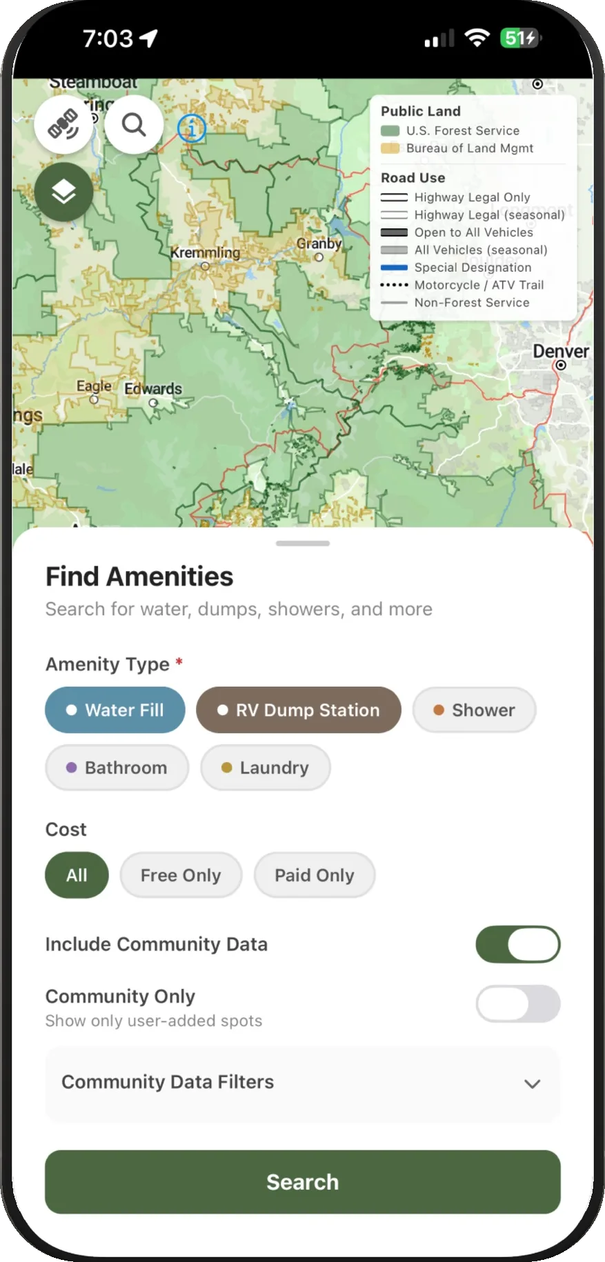
Nearby amenities
Search for water fills, dump stations, bathrooms, showers and laundry near your route, free or paid.
Built around the community
Every spot can be reviewed, rated and verified by other campers. Share a great site or leave notes on road conditions.
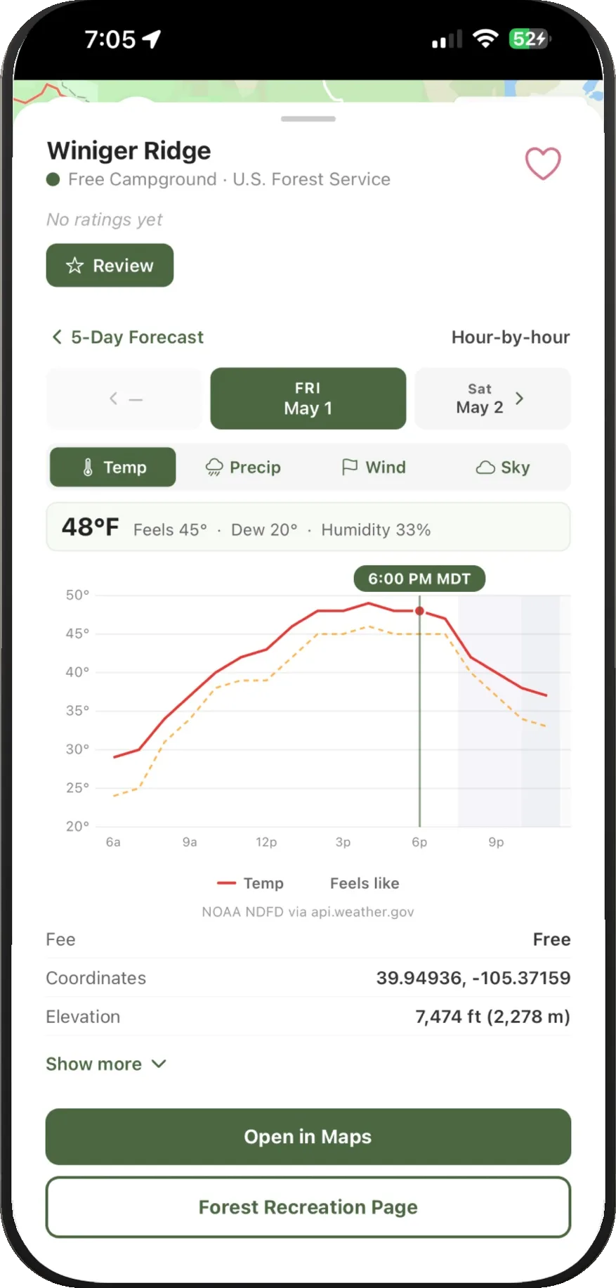
Weather you can act on
5-day and hour-by-hour forecasts for any pin, with live radar, lightning, smoke and fire overlays powered by SatSquatch.
Offline maps
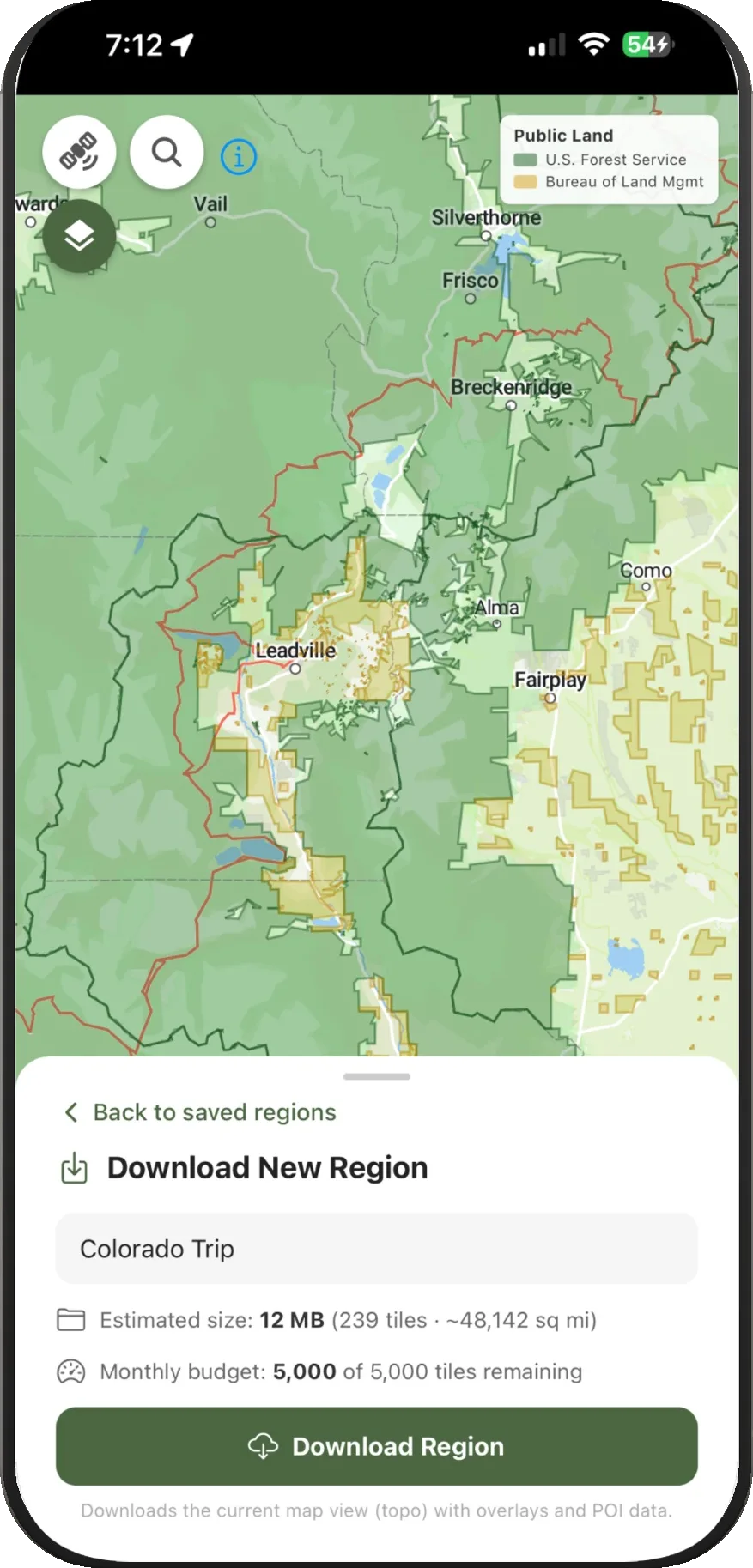
Download regions before you lose signal: basemap, overlays and camping data all work offline.
$1.99/mo
or $19.99 a year, with a free trial
Frequently asked questions
Dispersed camping corridors are extracted from the U.S. Forest Service's official Motor Vehicle Use Maps, combined with BLM and PAD-US public land boundaries and OpenStreetMap roads. Campers add and verify sites, reviews and amenities on top of that.
With WildCamp Pro you can download a region ahead of time. The basemap, land layers and camping data for that region then work fully offline.
No. WildCamp is an independent, community-driven app and is not affiliated with, endorsed by or operated by the U.S. Forest Service, the Bureau of Land Management, NOAA, USGS or any other government agency. Always verify rules, closures and current conditions with the official agency before you travel.
Get WildCamp
WildCamp is an independent, community-driven app and is not affiliated with, endorsed by or operated by the U.S. Forest Service, the Bureau of Land Management, NOAA, USGS or any other government agency. Land, road, weather and fire data are compiled from publicly available U.S. government sources; always verify rules, closures and conditions with the official agency.