
SatSquatch
Level II radar, GOES satellite and forecast models on one GPU-drawn map. Free on iOS, Android and the web.


Everything on one map
Pro-grade data without the pro-grade clutter. Stack radar, satellite, models and severe weather on a map you style yourself.
Level II radar
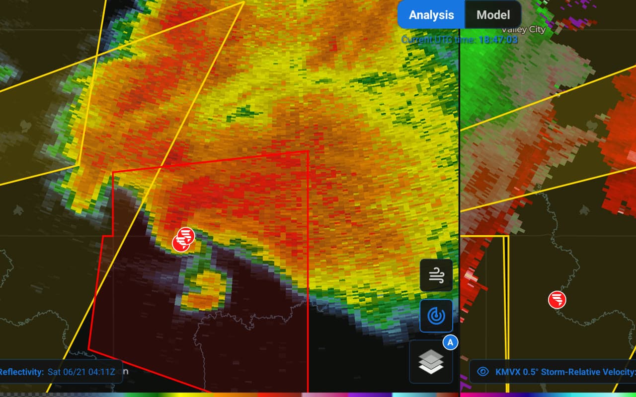
Every NEXRAD and TDWR site at every tilt: reflectivity, velocity, dealiased and storm-relative velocity, the dual-pol moments and volume products like echo tops and MESH. Refreshes every 15 seconds.
Forecast models
HRRR, RRFS and GFS with filled contours, labelled lines and wind barbs. Flip between runs, difference them, or split the screen against another model.
Satellite
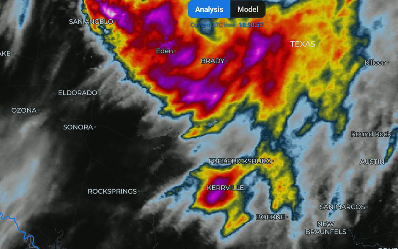
All 16 GOES East and West bands and Himawari-9 at full resolution, with mesoscale sectors and GLM lightning.
Soundings & cross-sections
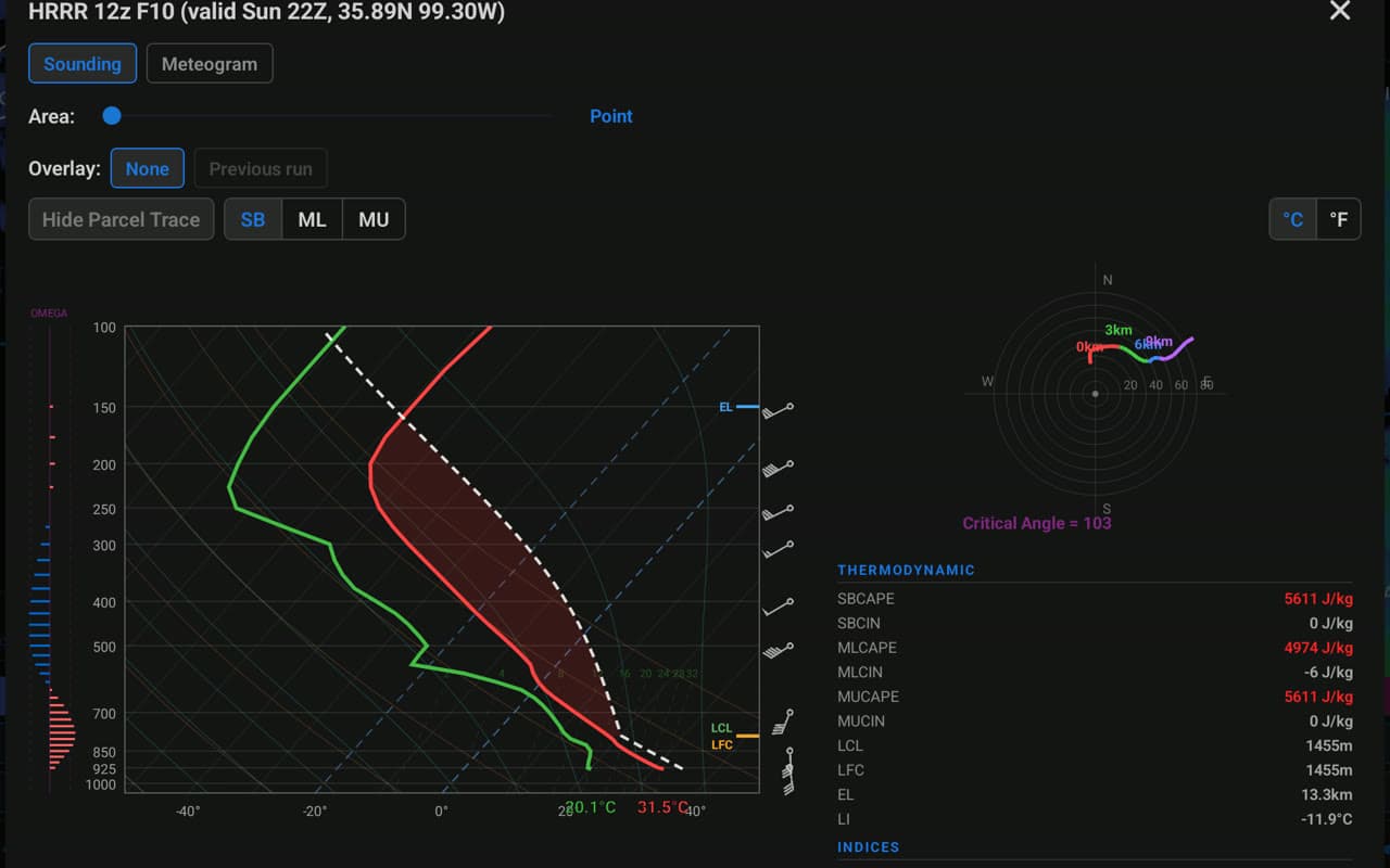
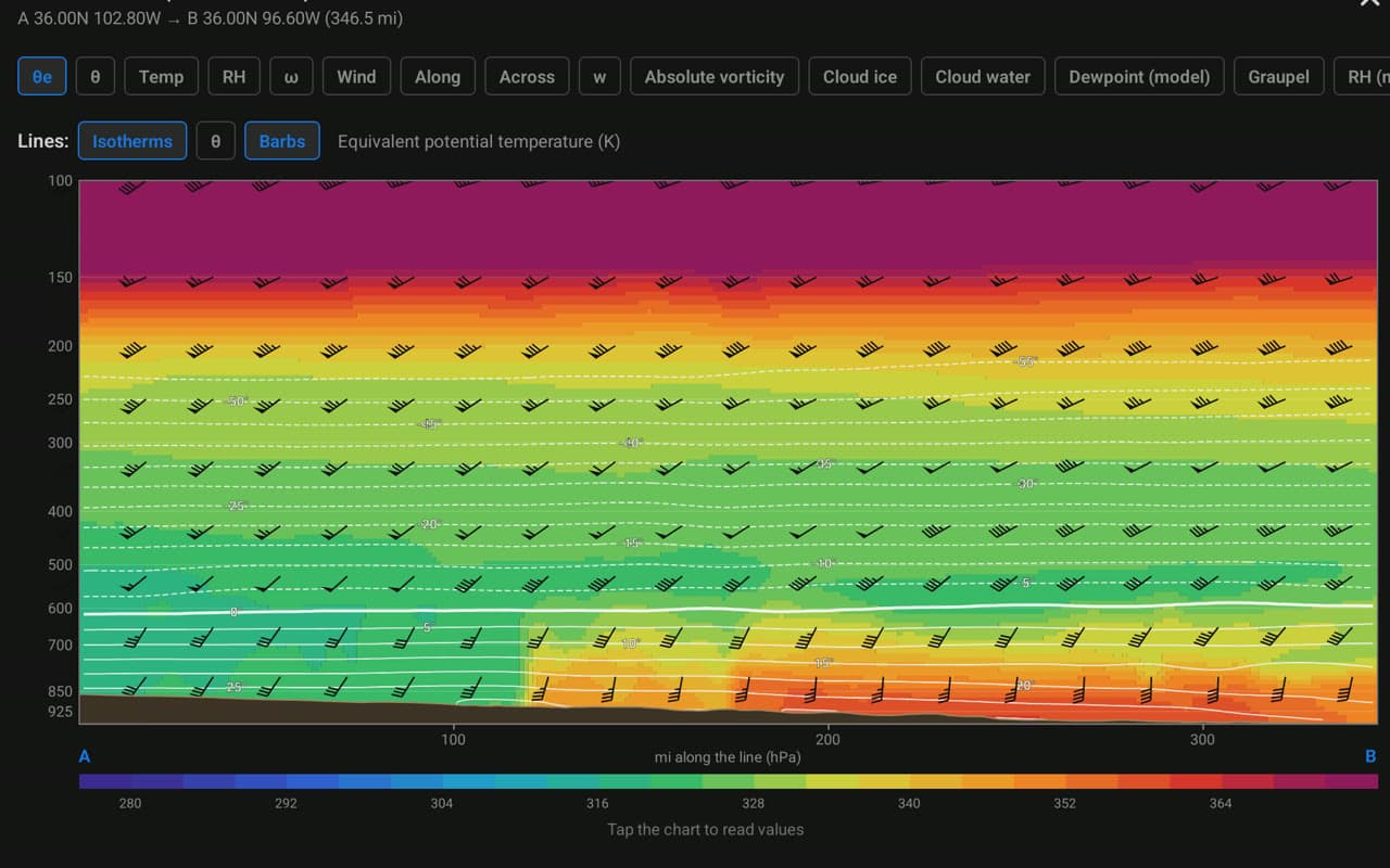
Long-press anywhere for a skew-T, hodograph, parameters and meteogram, or draw a cross-section through radar or model data.
Severe weather
NWS warnings, storm reports, ProbSevere, surface fronts, tropical tracks and MRMS composites, all on the same map.
Fast and yours
Every layer is drawn on your device's GPU. Build presets, custom colormaps and import GRLevelX palettes, synced across your devices.
Free to explore
$4.99/mo
or $49.99 a year, with a 7-day free trial
Half the price of RadarScope Pro Tier 2 or WeatherFront Advanced.
Also in Pro
Frequently asked questions
iOS, Android and the web at satsquatch.wxbyte.com. One account syncs your settings, presets, colormaps and saved locations between them.
HRRR, RRFS and GFS are free. Pro adds ECMWF IFS and AIFS, the AI models, NBM, RAP, and the GEFS, REFS and AI ensembles with probabilities, means, spread and plume charts. Every model supports run-to-run differences, split-screen comparison, soundings, cross-sections and meteograms.
Level II radar refreshes every 15 seconds. Pro's Live Sweep setting draws the lowest tilt while the radar is still scanning it, and storm-relative velocity uses the radar's own VAD wind profile for storm motion.
Archive mode in Pro loads any past date with that period's radar, satellite, storm reports and warning polygons.
Yes. Import .pal and .pal3 color tables from a file, a paste or a link, edit them, and export them again. You can also build your own colormaps for any layer.